
Canby flooding now routine after river channel changes
Standing in Canby Community Park and looking upriver, Canby Fire District Chief Matt Dale saw the Molalla coming right at him where he remembered it used to curve and bend. Dale also explored a half mile of former Molalla riverbed that's currently dead and dry.

By Raymond Rendleman, The Canby Chronicle
Standing in Canby Community Park and looking upriver, Canby Fire District Chief Matt Dale saw the Molalla coming right at him where he remembered it used to curve and bend. Dale also explored a half mile of former Molalla riverbed that's currently dead and dry.
Anyone who was around Oregon during the 1996 flood has strong memories of the destruction it wrought. Thirty years ago, the flooding led to eight deaths statewide, along with over $500 million in property damage throughout the Pacific Northwest.
Record-breaking rain, warm temperatures, and a deep snowpack combined in February 1996 to bring severe flooding throughout northern sections of the state, including in Canby. The Molalla River overflowed its banks in Canby during the event.
By comparison, the December 2025 flood in Canby shouldn’t have even registered, since it resulted in much lower water levels. Dale said that while 2025 was not supposed to be a big deal in terms of the river’s water height levels, it turned out to be a big deal for a large number of Canby residents.
The National Weather Service has since learned a thing or two about river’s channel migration causing increased potential for extensive property damage. Based on community outreach, historical data, and geospatial analysis, this year the National Weather Service updated its flood stage numbers in Canby “to better align” with the area’s evolving geomorphology and hydrological conditions.
“Current flood thresholds no longer accurately reflect local impacts,” the National Weather Service wrote. “For instance, the 2025 event caused widespread flooding despite only reaching minor threshold levels.”
Dale told the Canby Chronicle that the worst of the 2025 flooding was around the area of Goods Bridge just south of city limits. Dale said that the flooding most affected residents who lived on Alder Creek Lane, Vale Garden Road, and South Molalla Forest Road.
The Canby Rod & Gun Club, which sits at the river’s confluence with Milk Creek, sits in about the middle of a huge area of town that was under an evacuation order. Dale said that the fire district performed several water rescues during the 2025 flooding, which thankfully prevented loss of life.
In keeping with its mission, the fire district would like to prevent future property damage as well as fatalities. Dale is especially interested in areas of the Molalla south of Canby where the river has a big wide swing in two spots.
“The river has changed its channel numerous times over the years,” Dale said. “The Molalla River Improvement District placed another berm, but the river channel shifted again in 2024.”
Despite making sandbags available for the community, Dale is dismayed that some residents are still not living in their homes following the damage. While he’s glad for no loss of life, the extensive property damage and continued homelessness have rankled fire district officials.
“I wanted to bring everyone together to talk about what could be done,” he said.
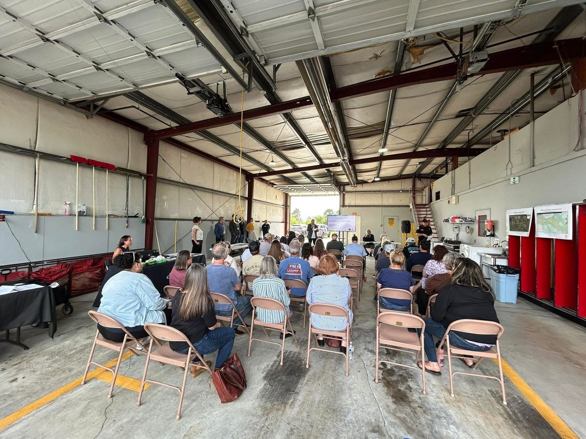
In May, Canby’s Station 365 hosted a two-hour community meeting to discuss Molalla River flooding review and education. Agencies from across the region gathered with residents to share information about a low-lying area that shouldn’t be flooding as much as it is.
“The December 2025 floods on the Molalla River demonstrated there are a lot of communities and infrastructure impacted from this dynamic system,” said Jay Wilson of Clackamas County Disaster Management.
Dale said that one of the issues keeping him up at night is that there's no public money available to further reinforce the areas prone to flooding. But with some knowledge and planning, he’s hoping that people in the affected areas will have more time and more warning to gather their animals, belongings, and to save lives.
A bright spot for Dale in terms of potential long-term solutions: the owner of a nearby gravel quarry has received a permit from the Oregon Department of Fish & Wildlife and other agencies to make some improvements on the river channel. Dale only wishes that the green-light had come sooner for positive change.
“There's a lot of red tape for good reason, but as a human trying to solve a problem, it's frustrating,” he said.